01
Residential
Make the property easier to understand, compare, and remember—from the home itself to the land around it.
Explore residential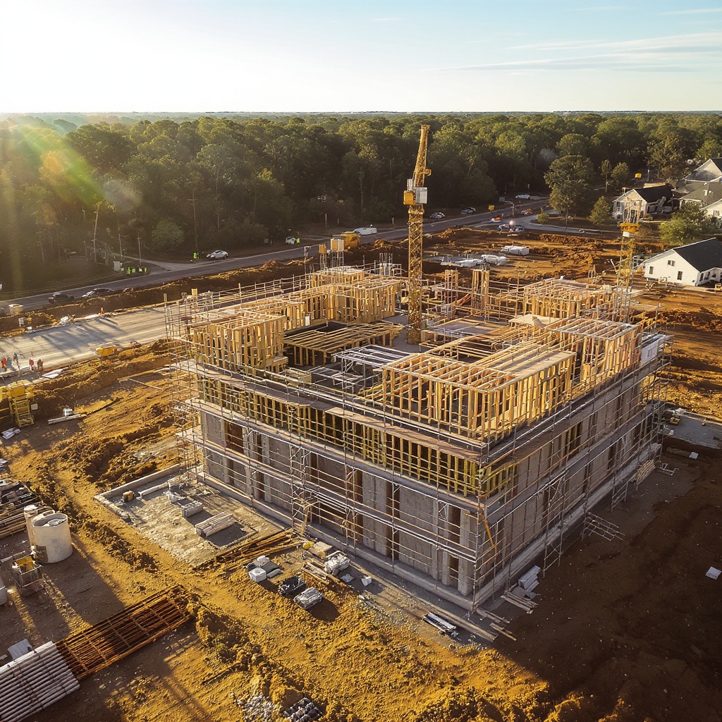
SkyLensOS helps homeowners, businesses, and communities show what matters from a better point of view—with aerial imagery for showing, selling, documenting, and planning.
Choose the path that matches what you need to show, document, or plan. SkyLensOS is one managed service—not separate residential and business sites.
Make the property easier to understand, compare, and remember—from the home itself to the land around it.
Explore residentialGive listings, properties, job sites, and campaigns a clearer visual record your team can use.
Explore businessKeep shared spaces, amenity areas, projects, and changes visible for boards, residents, and planning teams.
Explore communitiesUse aerial imagery to tell the whole property story—not just the front elevation. These focused visual documentation themes help you see context, change, and progress.
These are visual documentation services—not professional inspections, engineering diagnoses, insurance adjusting, arborist work, or electrical/solar diagnoses.
A concise aerial view of the home, lot, and surrounding context for a clearer starting point.
Capture rooflines, elevations, exterior features, and hard-to-see context from above.
Create a visual record of exterior conditions after a weather event to support conversations and next steps.
Give a listing a stronger sense of place with aerial photos and video selected for marketing use.
Make change visible over time with repeatable views of a project, site, or addition.
See property lines, canopy, access, and the relationship between the home and its surroundings.
Pair consistent aerial perspectives to show what changed across a project, season, or milestone.
From a listing presentation to a job-site update, professional aerial imagery gives real-estate professionals, property managers, construction and renovation teams, and commercial owners a shared visual reference.
Frame the property, lot, access, and surrounding context for listing and marketing work.
Create a useful visual record of buildings, grounds, shared spaces, and ongoing needs.
Bring the full site into project updates, milestone records, and stakeholder conversations.
Use aerial perspective to understand layouts, access, surroundings, and visible change over time.
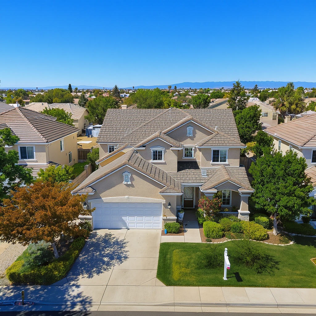
Community spaces change with seasons, projects, landscaping, and new amenities. Aerial imagery helps boards, managers, and residents see the same place from the same useful perspective.
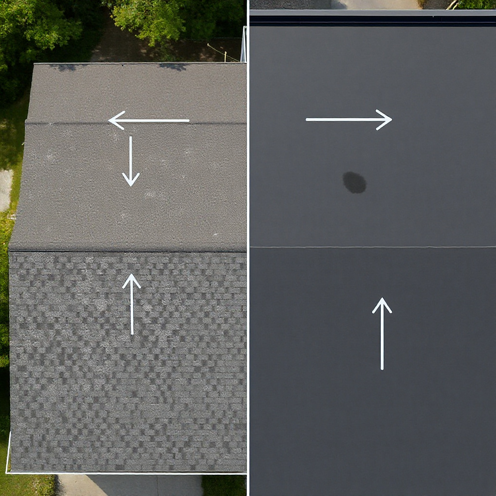
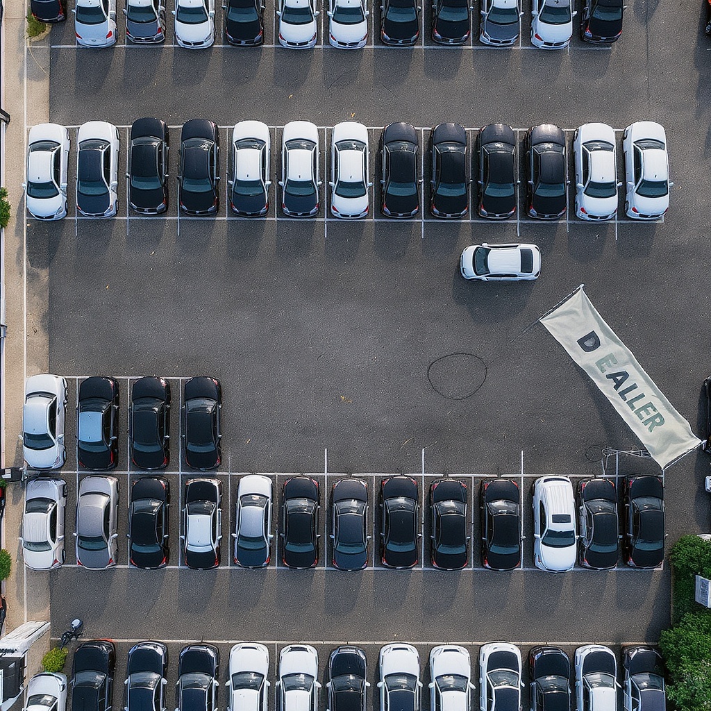
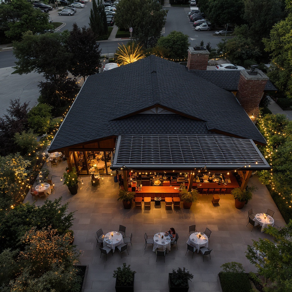
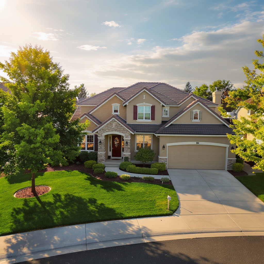
A few visual examples from the SkyLensOS image library. Visit the portfolio for the full follow-on experience.
Approved local pilot details are shared here only when a current campaign is active.
Package selection and standard booking are still available through the normal service path. Campaign inquiries do not use the booking form—use the local pilot button above instead.
Choose a package, share the property details, and request a date. This form is for normal services; campaign inquiries go to /apply.
* Prices shown are starting rates. Final pricing varies based on property size, location, travel, and add-ons such as rush delivery, additional aerials, video, or cinematic upgrades. Customization is available—we'll confirm your final price before booking.
We'll confirm your shoot details within 2 hours. Check your email for confirmation.
← Back to Home